
East Lansing ZIP Code Postal Coverage
Official USPS material located for this research lists 48823 through 48826 as serving the East Lansing mailing identity. The range is a delivery framework, not a published municipal map. 48823 is the primary standard city ZIP. The research identifies 48824 with MSU or campus delivery geography and 48825 with East Lansing or MSU delivery geography. The status of 48826 is not confirmed beyond special, PO-box, or delivery geography. Verify a complete address with USPS before assigning a ZIP to it.
| ZIP Code | Areas Covered | Post Office | Notes |
|---|---|---|---|
| 48823 | Primary East Lansing mailing identity | East Lansing | Standard city ZIP; USPS verifies the exact address |
| 48824 | MSU and campus delivery geography | East Lansing | Verify each address; postal and parcel lines can differ |
| 48825 | East Lansing or MSU delivery geography | East Lansing | ZIP and municipal label can differ |
| 48826 | East Lansing mailing range | East Lansing | Special, PO-box, or delivery classification is unconfirmed |
Adjacent Lansing ZIPs, including 48912 and 48911, are not proof that an address lies in East Lansing. No official current USPS street-by-street boundary table or city-limit polygon was located in the research. The reliable answer for one address comes from the USPS address verifier, followed by the relevant city or parcel map for jurisdiction. That distinction is especially important near campus, township, and city edges, where postal delivery and the governmental office holding a record can point in different directions.
East Lansing ZIP Code GIS Context
East Lansing's GIS material supplies the geography that a ZIP result lacks. The city map offers parcel, zoning, tax-district, neighborhood, socioeconomic, and census layers. Its parcel service has owner, owner mailing address, situs or physical address, and ZIP attributes. The owner ZIP is a tax-correspondence field. It may be outside the city, and it must be kept separate from the situs address. Neither field proves every person at the property.
The East Lansing GIS landing page leads to the official mapping resources.
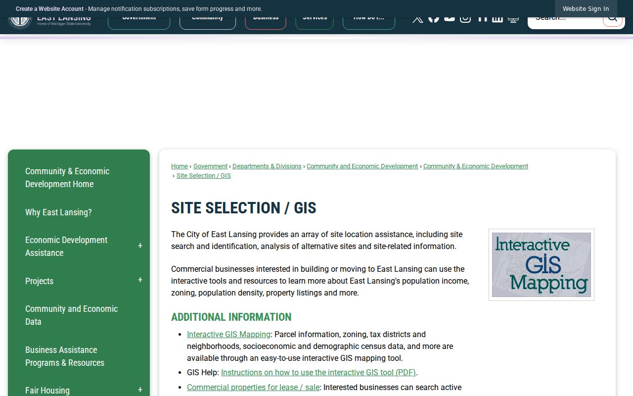
Use the parcel, neighborhood, zoning, and census layers as separate administrative or geographic context. They do not replace an exact postal verification. For example, a neighborhood layer can orient a reader to a part of the city, while a parcel popup may identify the physical situs. Neither tells USPS where a carrier route begins or ends. Compare the source's purpose before moving data from one system into another.
East Lansing ZIP Code USPS Results
USPS is the only official exact-address ZIP verification source documented here. It standardizes the delivery address and returns the ZIP used for mail. The postal answer may still use a campus or city label that does not settle municipal jurisdiction. There is no official current ZIP boundary polygon or street-by-street ZIP table in the research, so a map that appears to draw a hard ZIP edge should not be treated as a city records boundary.
The USPS lookup is the source for the delivery result.
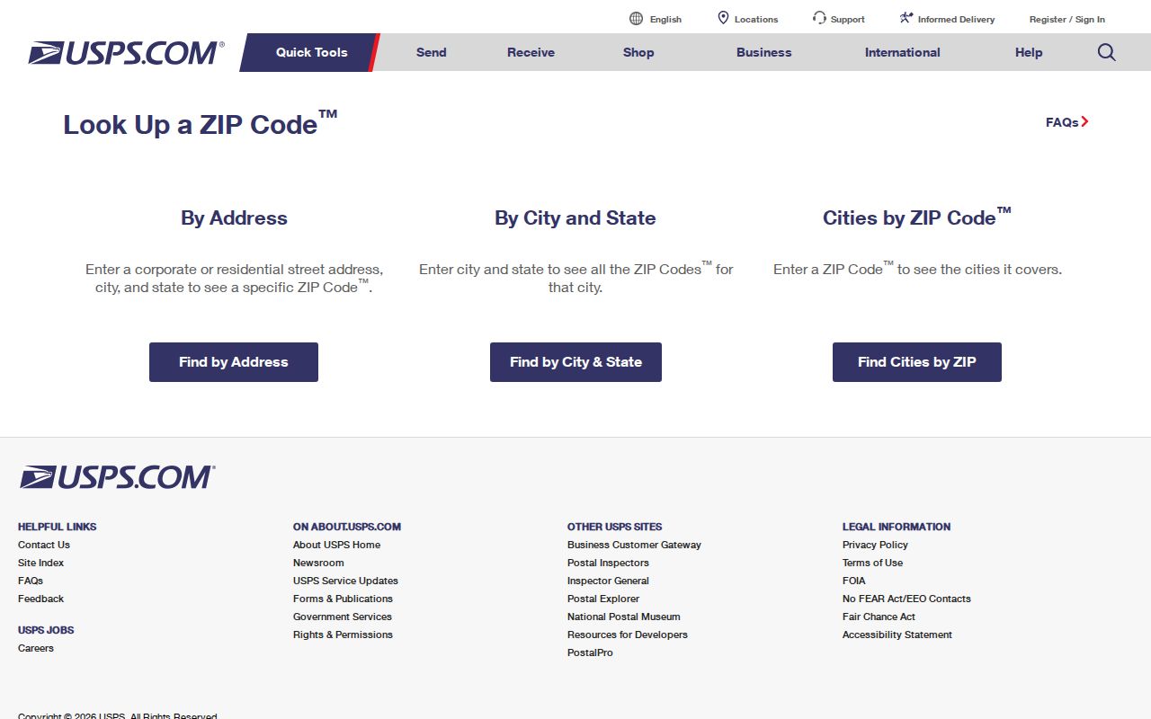
Record the exact input and returned format. A nearby ZIP or a broad East Lansing mailing label is not a substitute for that result. Recheck it when an address has changed, a unit number was omitted, or an older record uses a historic campus, township, or regional place name.
East Lansing ZIP Code Address Fields
Use the postal verifier with its documented address components rather than inventing a ZIP-only resident search. The fields below describe the official address-verification task. In parcel research, the physical situs and the owner's mailing ZIP answer different questions. BS&A's static entry point documents name, address, and parcel-number search, not a ZIP-only filter.
| Street address | Required location input for exact USPS delivery verification. |
|---|---|
| City | Use the postal city supplied with the address query, then preserve the standardized result. |
| State | Michigan for the East Lansing address query. |
| Returned ZIP | The postal ZIP for delivery, not a city boundary or an occupancy finding. |
For a parcel question, search the published address or parcel number and examine the GIS map. The research does not establish a current interface that filters all East Lansing parcels by ZIP. In the GIS data, OwnerZip belongs to the owner mailing information, while the address fields locate the parcel itself. The distinction helps prevent a mail-to ZIP from being misread as the parcel's delivery ZIP or as proof that the owner occupies the property. If a query requires a geographic boundary, use a city, parcel, district, neighborhood, or census layer only for the specific boundary it publishes.
Verify an East Lansing ZIP Code
Use one ZIP only after the address is complete. The official USPS ZIP Code Lookup accepts an address, city, and state and returns a standardized delivery address and ZIP. It is the verified postal step. It does not establish city incorporation, parcel ownership, or a household list. Keep the returned address form together with the date checked when a later public-record query needs the same location.
- Enter the full street address, city, and Michigan in the USPS verifier. Save the standardized address and ZIP.
- Open the East Lansing GIS map and compare the address or parcel with the current city boundary and available parcel layers.
- Use BS&A's published address, owner-name, or parcel-number paths for a parcel question. The static research does not establish a ZIP-only BS&A mode.
- For a voter question, use a named MVIC lookup or the QVF's stated jurisdictional scope. ZIP is not a published QVF scope selection.
Once the ZIP and address are settled, the East Lansing street directory is the appropriate route for a street-by-street parcel workflow. A postal label should not be stretched into a ZIP-wide resident list.
East Lansing ZIP Code Voter Scope
Michigan Voter Information Center checks a named voter using first name, last name, birth month, and birth year. It is not a ZIP directory. The Qualified Voter File request form offers state, county, jurisdiction, district, school, village, ward, and precinct scope. It does not list ZIP as an independent selection. A requested geographic file can be governed by its stated jurisdictional boundaries, not a mail-delivery area.
Public voter information has important redactions, including month and day of birth, phone, email, digitized signature, and certain registration metadata. Michigan Address Confidentiality Program participants may use a designated address. Do not combine a ZIP, parcel data, or other sources to try to discover a protected physical location.
When an election question is limited to East Lansing, the jurisdiction selection or the local clerk is more precise than a postal range. A precinct can cross the assumptions a reader makes from an address label, and the QVF form makes clear that its scope is administrative. Preserve both the requested scope and the record date. That keeps a ZIP clue from becoming an unsupported statement about registration, voter status, or the people at a delivery address.
Note: ZIP geography is useful for delivery verification, while voter records follow the election scope and privacy rules set by the state.
East Lansing ZIP Code City Labels
East Lansing grew around Michigan Agricultural College and later Michigan State University. Historic sources may use Lansing, East Lansing, Agricultural College, or campus organization labels for related places. That pattern continues in postal and directory research: a campus or postal name can be a useful search variant, but it does not by itself establish the current municipal boundary. The city also reaches across Ingham and Clinton county lines and touches Lansing and several townships.
The present municipal footprint reflects annexations and 425 Agreements, with the last annexation in 2006. A ZIP does not control city jurisdiction. For historic work, compare the date, the stated geography of the source, an old map or plat where available, and the current city GIS boundary rather than assuming a modern postal label always applied. Directory research has a similar label problem. A regional volume may use Lansing in its title while still including East Lansing or campus material, so its stated coverage needs to be read before a name is assigned to a municipal location.
East Lansing ZIP Code Boundary Limits
ZIP code boundaries and East Lansing city limits are different systems. The city boundary can cross county and township edges and include MSU geography; the ZIP is for mail delivery. A parcel with an East Lansing mailing label may need a separate jurisdiction check, and a nearby Lansing ZIP such as 48912 or 48911 does not determine whether an address is within East Lansing. Use USPS for delivery, GIS for city and parcel context, and the proper custodian for a record request.
- ZIP and ZIP+4
- A five-digit ZIP identifies a delivery area. ZIP+4 adds a more specific delivery segment for sorting and does not define a city boundary.
- PO-box ZIP
- A ZIP used for post-office boxes. It describes a delivery arrangement, not the box holder's physical location.
- Unique ZIP
- A ZIP assigned to a single large organization or delivery arrangement. The research does not confirm this classification for the listed East Lansing ZIPs.
- Carrier route
- A postal delivery grouping below the broad ZIP level. It is a mail-routing term, not a public resident roster.
These definitions explain why an exact address matters. They do not create a public search mode that the underlying East Lansing or Michigan record system has not published. When a ZIP is only the starting clue, move next to the source that owns the needed fact: USPS for delivery, the GIS viewer for parcel and city context, BS&A for its stated property fields, or the election office for a named voter or an approved jurisdictional request. This separation also keeps an owner mailing field, a delivery ZIP, a parcel location, and a city boundary from being treated as interchangeable evidence.