
East Lansing Neighbors by Block Source
Public tools show different pieces of a block. The map is the best place to see parcels around the target. BS&A gives one current property record at a time. A neighborhood map is useful for civic context, while city contacts are not a list of all members. A Michigan voter file has request-based geographic scopes and protected fields, so it should be treated as a narrow registration source rather than a census of the block.
| Source | What it shows about a block | Access |
|---|---|---|
| GIS parcel viewer | Adjacent polygons, parcel, owner, address, ZIP, and zoning fields | Public map, click, pan, or query |
| East Lansing BS&A | Current owner and parcel record for an address | Free public address, name, or parcel search |
| Qualified Voter File | Requested registration data within a jurisdiction or precinct | Written request with redactions |
| Permit and code files | Project address, applicant, and chronology | Online permit route; older files by FOIA |
| Neighborhood map and liaisons | Association area, public city connection, and civic contact path | City pages; no member roster |
| CADL cross-index | Historic address-to-occupant entry | Reference volumes, 1972 to 1996 with gaps |
Each result needs a date and a source URL in the block notes. A parcel owner, a historical directory entry, and a voter registration record are not interchangeable facts.
Map East Lansing Neighbors by Parcel
Enter the target address in the East Lansing Interactive GIS Mapping viewer and select its parcel. Then pan one parcel width to each side and click polygons that share a boundary or face the same street. The city map and public service support parcel selection, map browsing, and information popups. The research did not confirm a current public label for a buffer or measure control, so use one only if the rendered map exposes it.
- Locate the target parcel by its normalized street address.
- Record its parcel number, owner, situs, owner mailing ZIP, and zoning as separate fields.
- Click the north, east, south, and west parcels that share a boundary or face the target.
- Compare the result with the current BS&A record and the neighborhood layer.
- Use the recorded legal description if a boundary, lot, unit, or split requires confirmation.
For a full named-street chain rather than the immediate block, use the East Lansing street directory records workflow. Parcel geometry helps orient a block, but it is not a legal survey.
East Lansing Block Sheet Fields
A consistent worksheet prevents a mailing field from being mistaken for a situs or a neighborhood boundary from being mistaken for a property line. The public parcel FeatureServer exposes identifiers and attributes such as PAR_NO or ParcelNum, Addr1, Owner, OwnerAddr, OwnerCity, OwnerState, OwnerZip, Zoning, Parent_Par, Split_YR, UNIT_NO, and FLOORNO. Not every record will have every field.
| Block-sheet field | Why retain it |
|---|---|
| Target and compass adjacency | Shows which parcel is north, east, south, or west of the starting address. |
| Parcel number and lot context | Connects the GIS, assessor record, deed, and any parcel split. |
| Situs and mailing fields | Separates the physical parcel from tax correspondence and its ZIP. |
| Zoning and neighborhood layer | Adds map context without identifying a resident. |
| Permit clue, directory year, source URL, and date | Preserves what was found and when, with an access trail. |
Owner mailing address may point outside the city. It is a correspondence field and never proof that the owner lives at the parcel.
East Lansing Neighbor Map Layers
The GIS adds zoning, tax districts, neighborhood areas, socioeconomic data, and census layers to the parcel view. Those overlays can help distinguish a boundary, community label, or city edge. East Lansing is primarily in Ingham County, with a small portion extending into Clinton County. A contiguous map shape can also meet a different neighborhood association or jurisdictional edge.
Read the layers as geography and administration, not as a neighbor roster. The city describes the map's parcel data as a public resource, while the recorded legal description and plat govern the underlying land. A map popup can be a strong starting point, but it should be checked against the official land record where a legal conclusion matters.
East Lansing Neighborhood Contacts
The official East Lansing Neighborhoods page says the city has more than 25 neighborhoods. Its association map, dated 2015, should be checked with the city for current boundaries. Examples shown on the map include Abbott Parkside, Abbott Woods, Avondale Square, Bailey, Brookfield Heritage, Chesterfield Hills, Crossings, Downtown, Glencairn, Glenmoor, Red Cedar, Tamarisk, and Whitehills. These names orient a block, but do not identify every person within it.
The city map is a useful visual source for an East Lansing neighborhood question.
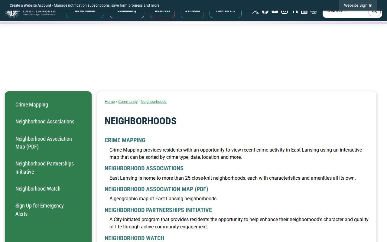
The map supplies association geography and community labels. Confirm a current boundary or contact through City Hall before relying on a 2015 map label.
| Community resource | Public role | What it does not provide |
|---|---|---|
| Neighborhood association map | Names and maps local community areas | A list of every resident or member |
| City staff liaisons | Connect associations with City Hall and city programs | A general member directory |
| Council of Neighborhood Presidents | City-recognized liaison assignment and public meetings | Open household contact data |
East Lansing Neighbor Watch Contacts
ELPD identifies Captain Adrian Ojerio at (517) 319-6865 as the official contact for starting a Neighborhood Watch group. Officers are assigned to Districts 50 through 53, and the department publishes a sector GIS map and community-engagement contacts. These routes are for civic safety coordination and neighborhood questions, not a resident directory.
City staff liaisons support several named associations, including Red Cedar, Southeast Marble, Walnut Heights, Glencairn, Tamarisk, Oakwood, Chesterfield Hills, Whitehills, Bailey, Avondale, Brookfield Heritage, Hawthorn, and Pinecrest. Their role is to attend meetings or events, share city-program information, and connect associations with City Hall.
Note: A community contact can help identify the appropriate association, but it should not be used to seek nonpublic member information.
East Lansing Neighbor Voter Boundaries
Michigan registration data is public through FOIA, yet Michigan does not publish a simple all-neighbors or ZIP block lookup. The Michigan Voter Information Center checks a named voter using first name, last name, birth month, and birth year. A Qualified Voter File request can select an entire jurisdiction, ward, or precinct and may provide permitted fields such as name, residential or mailing address, year of birth, registration date, status, and requested history.
The state withholds the ID number, month and day of birth, phone, email, digitized signature, and other protected information. Do not infer that every person at a nearby address is registered, active, or included. A person may be protected, unregistered, inactive, or associated with an address that has since changed.
East Lansing Neighbor Record Choices
Official sources and commercial neighbor-lookup tools do different work. A commercial category can combine public and purchased data, often with stale or conflated address associations. It may require an opt-out and identity check. For a block question, use the official source that supports the narrow fact, then record its date and limitation.
| Source type | Useful for | Limit to keep in mind |
|---|---|---|
| Official parcel, assessor, or deed record | Parcel, listed owner, recorded land interest, and legal description | It does not identify every person at the address. |
| Official registration or community source | Named registration check or neighborhood contact path | Protected fields and membership limits apply. |
| Commercial neighbor-lookup category | A possible lead to verify independently | Associations can be old, wrong, or blended across people. |
East Lansing Neighbor Privacy Limits
Parcel information, a registration row, a directory entry, and community boundaries are all narrower than a list of people who live on a block. Utility and delivery records are not public neighbor rolls. Protected voters and people using Michigan's confidentiality systems must never be located through a chain of map, family, parcel, or directory clues. Publicly searchable does not automatically mean that sensitive details should be repeated.
The public East Lansing parcel service is the appropriate source for the map fields described here.
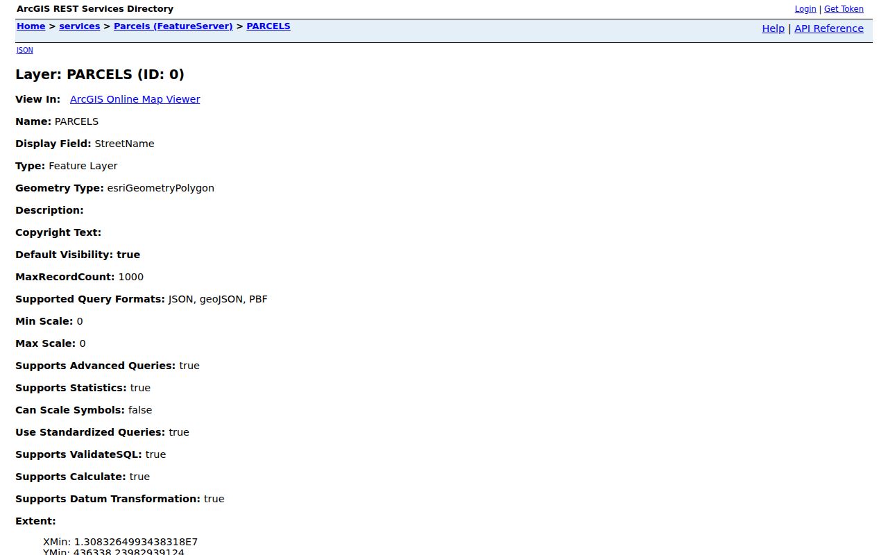
Use the parcel service to inspect a public land record, not to infer a protected household or physical location.
Michigan's Address Confidentiality Program provides a designated address for eligible participants. If an address appears protected or sealed, stop rather than attempting to triangulate it.